Schüttbach Challenge
Tour description
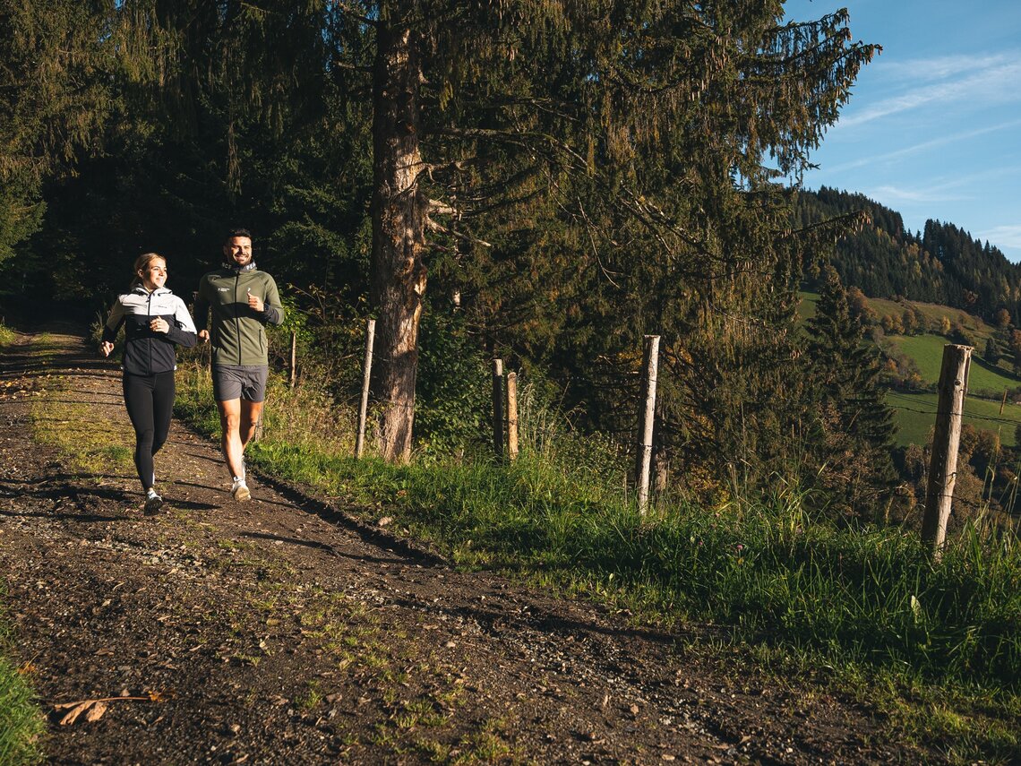
As the name suggests, this route is a ture challenge. Not too long in total, but because of the steep uphill and downhill sections and some 300 metres difference in altitude to overcome, almost a mountain run. But the shift between beautiful streches of forest and panoramic sections makes up for all the efforts.
Details & elevation profile
Starting point
Vellmar Park
Finishing point
Vellmar Park
Route type
Trailrunning
Route description:
Route marking: 06
Best time of year
Jan
Feb
Mar
Apr
May
Jun
Jul
Aug
Sep
Oct
Nov
Dec
Further information & links
Surface: Mainly forest floor and gravel, asphalt in the town


