tour from Piesendorf to the Pinzgauer hut Mountainbike tour
Details & elevation profile
Starting point
Piesendorf town center
Finishing point
Piesendorf or Walchen district
Route type
Mountainbike tour
Route description:
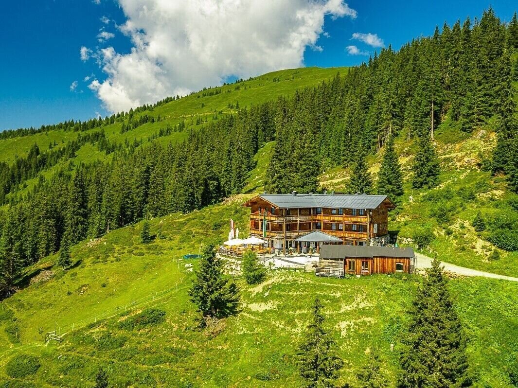
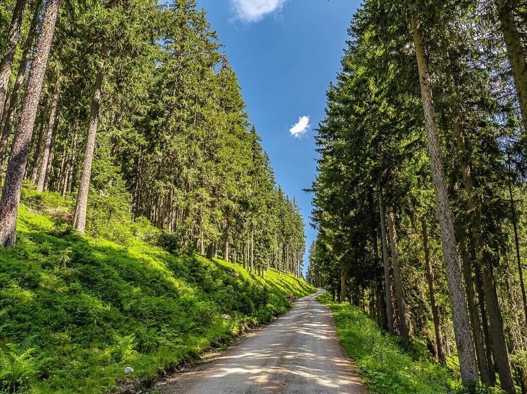
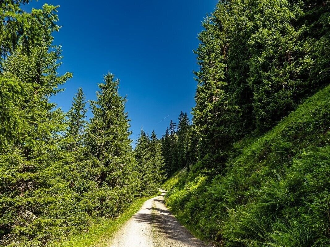
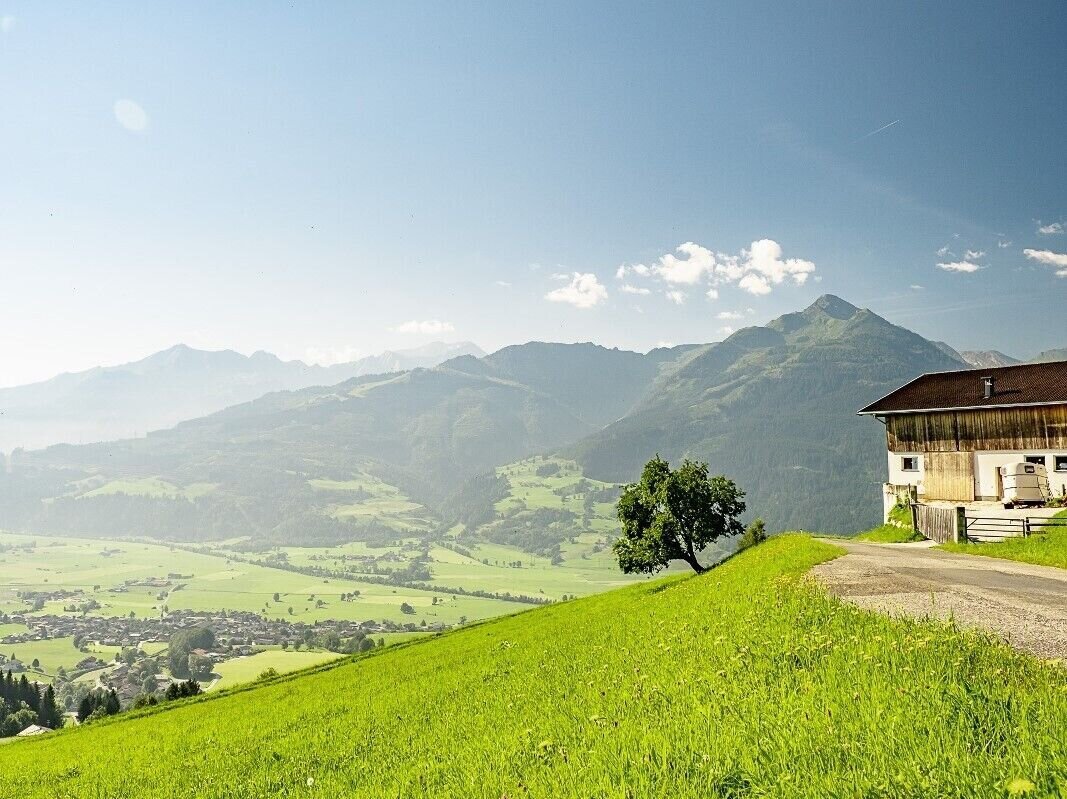
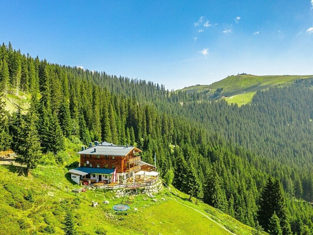
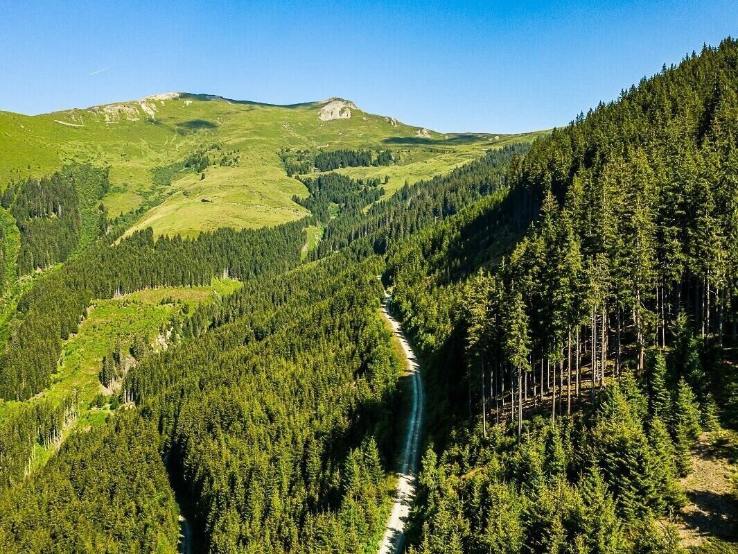
Piesendorf - after the church turn right - Wengerberg - Forest road and further to the Pinzgauer hut.
Back the same way or along Hochsonnbergalm down to Walchen.
Points along the way
Best time of year
Jan
Feb
Mar
Apr
May
Jun
Jul
Aug
Sep
Oct
Nov
Dec
How to get there
Coordinates
47.29216, 12.71608
Public transport
train station Zell am See
train station Zell am See

